Did you know that GPS was the oldest GNSS to date? It began operating in 1978 and only became available worldwide in 1994. Today, almost everyone uses it to their convenience, especially for navigation.
You may have heard about GPS already, but what about GNSS? In a literal sense, GNSS is rocket science, but we’re here to guide you. This article will help you find the GNSS meaning and process easy to understand.
GNSS vs. GPS
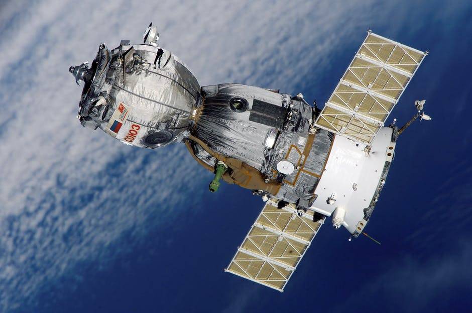
The Global Navigation Satellite System (GNSS) includes the NAVSTAR Global Positioning System (GPS). GPS is a constellation of satellites constructed by the US Department of Defense. GPS was only for military use way back, but it is now available to civilians.
GPS is the world’s most used GNSS at present. It provides continuous location and timing information worldwide, regardless of weather conditions.
GNSS also includes Russian GLONASS as part of its navigation systems. It may add soon add the European Union’s Galileo and China’s Beidou.
GNSS Application
Industries have made the most of the availability of GNSS. Civil applications play a vital role in the following:
- Aviation
- Disaster warning and emergency response
- Land transportation
- Maritime
- Mapping and surveying
- Monitoring of the environment
- Precision agriculture
- Natural resources management
- Research, such as climate change and ionospheric studies
- Wireless networking
- Photographic geocoding
- Mobile satellite communications
- Precise time reference
- Military precision-guided munitions
GNSS satellites orbit the Earth at a medium orbit altitude in this process. A GNSS satellite orbits the Earth every 11 hours, 58 minutes, and 2 seconds. It broadcasts coded signals providing its precise orbital position.
Each satellite uses the L-Band to broadcast data in L1 and L2 carrier waves regardless of age or design. GNSS receivers on Earth accept the data for its processing unit to analyze. The receiver collects data from three GNSS satellites to calculate precise location.
3 Major Segments
GNSS consists of three major segments that aid in its applications. The significant segments include:
- Space segment or satellites
- Ground segment or ground control stations
- User segment or GNSS receivers
Space Segment
The space segment has GNSS satellites 20,000 km above the Earth. Each satellite has its constellation of satellites positioned in orbits. Radio signals identify the time, trajectory, and condition as the GNSS transmits it.
Ground Segment
The control segment consists of a ground-based network. It includes data uploading stations, master control stations, and monitoring stations.
The master control station in each GNSS system modifies the satellites’ orbit parameters. It also adjusts onboard high-precision clocks as needed to ensure accuracy.
Monitoring stations are often spread out over a large geographic area. Monitoring stations relay the status of the satellites to the master control. The master control station analyzes the signals and sends them.
It then sends relevant corrections to the satellites via data uploading stations. Learn about GNSS on the ground simulation on this page.
User Segment
The user segment consists of equipment that processes GNSS satellite signals. It uses them to calculate and apply position and time information.
Examples of equipment include hikers’ smartphones and tiny receivers. It also has sophisticated, specialized receivers for high-end survey and mapping applications.
Understand GNSS Meaning Today
GNSS paved the way for broader communication and information reach. Defined GNSS meaning allows for a better understanding of how GNSS works.
Do you wish to read more informative ideas about navigation and other related topics? Read more of our blogs. We also cover knowledgeable ideas about business, travel, lifestyle, sports, and others.